Iyeltak:Antarctica (orthographic projection).svg

Taille de cet aperçu PNG pour ce fichier SVG : 537 × 536 px. Ar goraks: 240 × 240 px | 481 × 480 px | 769 × 768 px | 1026 × 1024 px | 2052 × 2048 px.
Xantaf iyeltak (SVG iyeltak, prekson 537 × 536 pixels, iyeltakaldo : 293 kio)
Pimtara
| Pimtara |
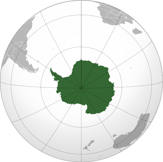
English: Antarctica (orthographic projection) |
||||
| Evla | |||||
| Klita |
Pilkaf grabom
|
||||
| Askisik | Heraldry | ||||
| Novera (Va bata ewava gin faver) |
|
||||
| Autres versions |
.svg) |
||||
| SVG information |

.svg)
.svg)
.svg)
.svg)
.svg)
.svg)
.svg)
.svg)
.svg)
.svg)
.svg)
.svg)
.svg)
.svg)
.svg)
.svg)
.svg)
.svg)
.svg)
.svg)
.svg)
.svg)
.svg)
.svg)
.svg)
.svg)
.svg)
.svg)
.svg)
.svg)
.svg)
.svg)
.svg)
.svg)
.svg)
.svg)
.svg)
.svg)
.svg)
.svg)
.svg)
.svg)
.svg)
.svg)
.svg)
.svg)
.svg)
.svg)
.svg)
.svg)
.svg)
.svg)
.svg)
.svg)
.svg)
.svg)
.svg)
.svg)
.svg)
.svg)
.svg)
.svg)
.svg)
.svg)
.svg)
.svg)
.svg)
.svg)
.svg)
.svg)
.svg)
.svg)
.svg)

.svg)

.svg)

.svg)
.svg)
.svg)
.svg)
.svg)
.svg)
.svg)


.svg)
.svg)
.svg)
.svg)
.svg)
.svg)
.svg)

.svg)
.svg)
.svg)
.svg)
.svg)
.svg)
.svg)
.svg)
.svg)

.svg)
.svg)
.svg)
.svg)
.svg)
.svg)
.svg)
_without_national_boundaries.svg)
.svg)
.svg)
.svg)
.svg)
.svg)
.svg)

.svg)
.svg)
.png)
.svg)
.svg)
.svg)
.svg)

.svg)
.svg)
.svg)
.svg)
.svg)
.svg)
.svg)
.svg)
.svg)
.svg)
.svg)

.svg)
.svg)
.svg)
.svg)
.svg)
.svg)
.svg)
.svg)
.svg)

.svg)
.svg)

.svg)
.svg)
.svg)
.svg)
.svg)
.svg)
.svg)
.svg)
.svg)
.svg)
.svg)
.svg)
.svg)
.svg)
.svg)
.svg)
.svg)
.svg)
.svg)
.svg)
.svg)
.svg)
.svg)
.svg)
.svg)
.svg)
.svg)
_-_Crimea_disputed.svg)
.svg)
.svg)
.svg)
.svg)
.svg)
.svg)
.svg)
.svg)
.svg)
.svg)
.svg)
_political.svg)
.svg)
.svg)
.svg)
.svg)
_-_Crimea_disputed_-_no_borders.svg)
.svg)
.svg)
.svg)
.svg)
.svg)
.svg)
.svg)
.svg)
.svg)
.svg)
.svg)

.svg)
.svg)
.svg)

.png)
.svg)
.svg)
.svg)
.svg)
.svg)
.svg)
.svg)
.svg)
.svg)
.svg)
.svg)
.svg)
.svg)
.svg)
.svg)
.svg)
.svg)
.svg)
.svg)
.svg)
.svg)
.svg)
.svg)
.svg)
.svg)
.svg)
.svg)
.svg)
.svg)
.svg)
.svg)
.svg)
.svg)
.svg)
.png)
.svg)
.svg)
.svg)
_(orthographic_projection).png)
.svg)
.svg)
.svg)
.svg)
.svg)
Sortara :
Moi, en tant que détenteur des droits d’auteur sur cette œuvre, je la publie sous la licence suivante :

|
Permission is granted to copy, distribute and/or modify this document under the terms of the GNU Free Documentation License, Version 1.2 or any later version published by the Free Software Foundation; with no Invariant Sections, no Front-Cover Texts, and no Back-Cover Texts. A copy of the license is included in the section entitled GNU Free Documentation License. |
| Bat iyeltak wetce Creative Commons Attribution-Share Alike 3.0 Unported zo sortayar. | ||
| ||
| Ce bandeau de licence a été ajouté à ce fichier dans le cadre de la procédure de mise à jour des licences des images sous GFDL. |
Iyeltakizvot
Witison va iyeltak inde in banugale awir, va evla/bartiv vulegal !!
| Evla/Bartiv | Aluk | Lumeem | Favesik | Sebuks | |
|---|---|---|---|---|---|
| ref | 11 pereaksat 2009 à 05:24 | | 537 × 536 (293 kio) | TownDown | {{Information |Description={{en|1=Antarctica (orthographic projection)}} |Source=trabajo propio (own work) |Author=TownDown |Date= |Permission= |other_versions= }} Category:Orthographic projections |
Favera va iyeltak
Valevefa bugluyaxa va bat iyeltak :
Jadifa iyeltakura
Valevefi wiki va bat iyeltak malsaved :
- Favera dene ab.wikipedia.org
- Favera dene ace.wikipedia.org
- Favera dene ady.wikipedia.org
- Favera dene af.wikipedia.org
- Favera dene als.wikipedia.org
- Favera dene am.wikipedia.org
- Favera dene ang.wikipedia.org
- Favera dene an.wikipedia.org
- Favera dene arc.wikipedia.org
- Favera dene ar.wikipedia.org
- آسيا
- أوروبا
- قارة
- أستراليا
- القارة القطبية الجنوبية
- أوقيانوسيا
- أمريكا الشمالية
- أمريكا الجنوبية
- بوابة:جغرافيا
- بوابة:آسيا
- بوابة:أوروبا
- بوابة:إفريقيا
- العالم الجديد
- أوراسيا
- أطلانطس
- الأمريكتان
- شبه القارة الهندية
- أرض النار
- بانجيا
- تصنيف:تصنيفات حسب القارة
- غندوانا
- أفرو-أوراسيا
- أستراليا (قارة)
- تغير أسماء دول آسيا خلال القرن العشرين
- إفريقيا
- ليموريا (قارة)
loa favera va bat iyeltak wil !!
.svg)
.svg)