Iyeltak:Deutschland Übersichtskarte.png
Lum ke bata abdiwira : 471 × 599 px. Ar goraks: 189 × 240 px | 377 × 480 px | 603 × 768 px | 805 × 1024 px | 1979 × 2518 px.
Xantaf iyeltak (1979 × 2518 pixel, iyeltakaldo : 7,01 Mio, MIME ord : image/png)
|
Pimtara
| Pimtara |
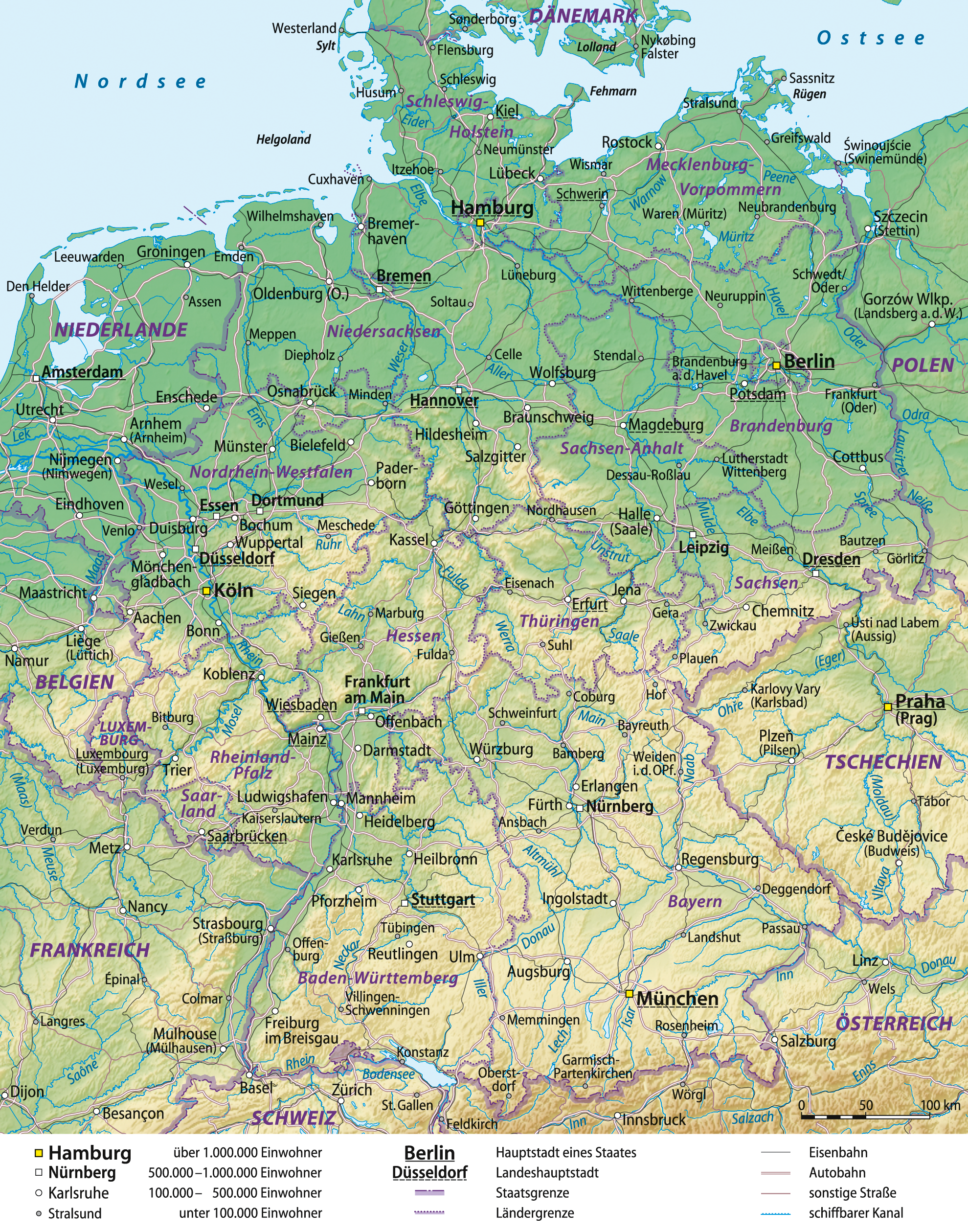
Deutsch: Übersichtskarte von Deutschland, deutsche Version
English: General map of Germany, German version
Français : Carte générale de l'Allemagne, en allemand
Español: Mapa general de Alemania, versión en alemán |
| Evla | 03-06-2008 |
| Klita |
self-made, using
|
| Askisik | Lencer and NordNordWest |
| Autres versions |
|


|
Cette carte a été créée ou améliorée dans le Kartenwerkstatt (Atelier cartographique allemand). Vous pouvez également y proposer des cartes à améliorer.
|
Sortara :
Moi, en tant que détenteur des droits d’auteur sur cette œuvre, je la publie sous les licences suivantes :

|
Permission is granted to copy, distribute and/or modify this document under the terms of the GNU Free Documentation License, Version 1.2 or any later version published by the Free Software Foundation; with no Invariant Sections, no Front-Cover Texts, and no Back-Cover Texts. A copy of the license is included in the section entitled GNU Free Documentation License. |
Bat iyeltak wetce Creative Commons Attribution-Share Alike 3.0 Unported zo sortayar.
- Til nuyaf :
- Ta walzilira – ta ksudara va kobara azu walzilira azu deara
- Ta warzafa ponara – Ta zalera va grabom
- Nope valevef kredeem :
- gaara – Va folack govanzilil ise va gluyaxa godaful ise gobazel kase betara al zo skud. Laninde gonaskil voxe mekane gometiavel da gelfasik va rin ik rinafa favera vanovar.
- Milinde paká – Ede va bat valdig betal ike artazukar ike voner, pune va nekis valdig wetce mila ok milafa sorta gu bat goxolel.
Va solnarina sorta rorewal
Iyeltakizvot
Witison va iyeltak inde in banugale awir, va evla/bartiv vulegal !!
| Evla/Bartiv | Aluk | Lumeem | Favesik | Sebuks | |
|---|---|---|---|---|---|
| ref | 29 santoleaksat 2012 à 16:41 | | 1979 × 2518 (7,01 Mio) | NordNordWest | update |
| 29 pereaksat 2009 à 07:48 |  | 1979 × 2518 (6,8 Mio) | NordNordWest | ||
| 10 lerdeaksat 2008 à 19:05 |  | 1979 × 2521 (7,01 Mio) | NordNordWest | Autobahnen aktualisiert | |
| 16 teveaksat 2008 à 14:01 |  | 1979 × 2521 (6,82 Mio) | NordNordWest | ||
| 11 teveaksat 2008 à 16:17 |  | 1978 × 2521 (6,82 Mio) | NordNordWest | kleinere Korrekturen | |
| 6 teveaksat 2008 à 10:02 |  | 1977 × 2521 (6,8 Mio) | NordNordWest | ||
| 5 teveaksat 2008 à 14:30 |  | 1978 × 2521 (6,8 Mio) | NordNordWest | ||
| 5 teveaksat 2008 à 10:12 |  | 1986 × 2525 (6,8 Mio) | NordNordWest | plus Grenzband | |
| 5 teveaksat 2008 à 09:57 |  | 1989 × 2531 (6,79 Mio) | NordNordWest | Korrekturen, mit Eisenbahn | |
| 3 teveaksat 2008 à 16:31 |  | 1987 × 2527 (6,6 Mio) | NordNordWest | {{Information |Description= {{de|Übersichtskarte von Deutschland}} {{en|General map of Germany}} |Source=self-made, using * Generic Mapping Tools * United States National Imagery and Mapp |
Favera va iyeltak
Valevefa bugluyaxa va bat iyeltak :
Jadifa iyeltakura
Valevefi wiki va bat iyeltak malsaved :
- Favera dene be.wikipedia.org
- Favera dene de.wikipedia.org
- Geographie Deutschlands
- Benutzer:Lencer
- Benutzer:Lencer/Galerie
- Wikipedia:Exzellente Bilder/Karten und Satellitenbilder
- Benutzer:Warboerde/Baustelle2
- Benutzer:NatiSythen/Karten
- Wikipedia:Kartenwerkstatt/Archiv/2008-06
- Wikipedia:Kartenwerkstatt/Hilfe/GMT/Gallery
- Wikipedia:Kandidaten für exzellente Bilder/Archiv2008/10
- Datei:Deutschland Übersichtskarte.png
- Benutzer:Lencer/Unterseite
- Benutzer:Uwe Dedering/Länderliste
- Benutzer:Ulflulfl/Karten
- Wikipedia:Kartenwerkstatt/Blog/3
- Wikipedia:Kartenwerkstatt/Archiv/Zurückgewiesene und zurückgestellte Aufträge 2009
- Wikipedia:Kartenwerkstatt/Schaufenster
- Museen in Deutschland
- Benutzer:Runologe/Landkarten
- Favera dene en.wikipedia.org
- Favera dene fr.wikipedia.org
- Favera dene it.wikipedia.org
- Favera dene lb.wikipedia.org
- Favera dene rm.wikipedia.org
- Favera dene ru.wikipedia.org
- Favera dene th.wikipedia.org
- Favera dene tl.wikipedia.org
- Favera dene tr.wikipedia.org
- Favera dene uk.wikipedia.org
- Favera dene uz.wikipedia.org
- Favera dene wo.wikipedia.org