Iyeltak:Near East topographic map-blank.svg

Taille de cet aperçu PNG pour ce fichier SVG : 800 × 522 px. Ar goraks: 320 × 209 px | 640 × 417 px | 1024 × 668 px | 1280 × 835 px | 2560 × 1669 px | 2425 × 1581 px.
Xantaf iyeltak (SVG iyeltak, prekson 2425 × 1581 pixels, iyeltakaldo : 2,33 Mio)
Pimtara
| Lieu de la prise de vue | | Voir cet endroit et d’autres images sur : OpenStreetMap |
|---|
Sortara :
Moi, en tant que détenteur des droits d’auteur sur cette œuvre, je la publie sous les licences suivantes :
| Copyleft : cette œuvre d’art est libre ; vous pouvez la redistribuer ou la modifier selon les termes de la licence Art Libre. Vous trouverez un exemplaire de cette licence sur le site Copyleft Attitude ainsi que sur d’autres sites. |
This file is licensed under the Creative Commons Attribution-Share Alike 4.0 International, 3.0 Unported, 2.5 Generic, 2.0 Generic and 1.0 Generic license.
- Til nuyaf :
- Ta walzilira – ta ksudara va kobara azu walzilira azu deara
- Ta warzafa ponara – Ta zalera va grabom
- Nope valevef kredeem :
- gaara – Va folack govanzilil ise va gluyaxa godaful ise gobazel kase betara al zo skud. Laninde gonaskil voxe mekane gometiavel da gelfasik va rin ik rinafa favera vanovar.
- Milinde paká – Ede va bat valdig betal ike artazukar ike voner, pune va nekis valdig wetce mila ok milafa sorta gu bat goxolel.
Va solnarina sorta rorewal
Iyeltakizvot
Witison va iyeltak inde in banugale awir, va evla/bartiv vulegal !!
| Evla/Bartiv | Aluk | Lumeem | Favesik | Sebuks | |
|---|---|---|---|---|---|
| ref | 18 anyusteaksat 2009 à 18:31 | | 2425 × 1581 (2,33 Mio) | Sémhur | 3 - New try |
| 17 anyusteaksat 2009 à 15:39 |  | 2425 × 1581 (1,73 Mio) | Sémhur | 2 - With the background... | |
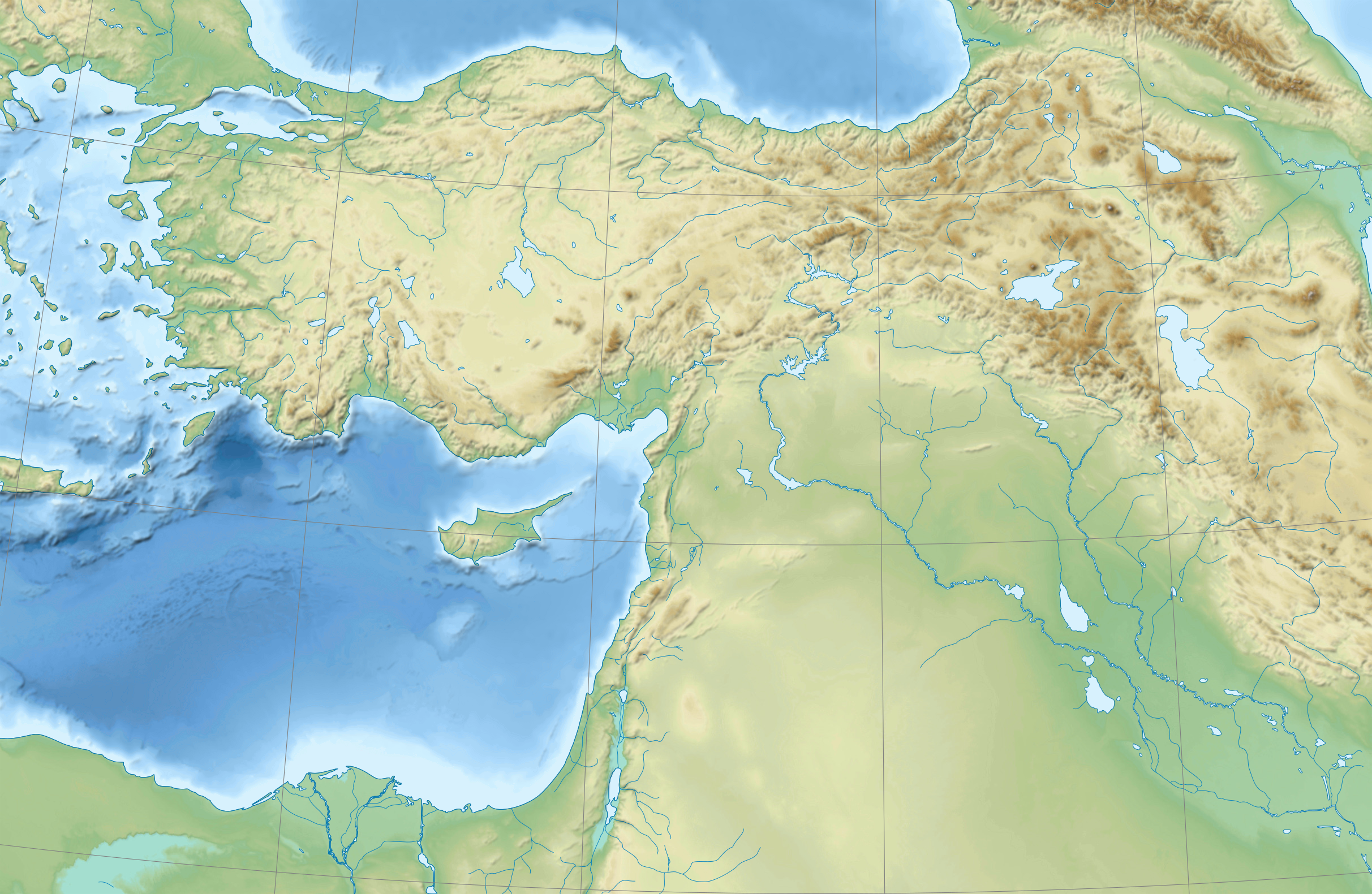
| 17 anyusteaksat 2009 à 15:37 |  | 2425 × 1581 (3 kio) | Sémhur | {{Information |Description={{en|1=Blank physical map of the Near East}} {{fr|1=Carte physique vierge du Proche-Orient.}} |Source={{own}} |Author=Sémhur |Date=2008-08-17 |Permission= |other_versions |
Favera va iyeltak
Meku bu va bata ewava ruldar.
Jadifa iyeltakura
Valevefi wiki va bat iyeltak malsaved :
- Favera dene ar.wikipedia.org
- Favera dene arz.wikipedia.org
- Favera dene azb.wikipedia.org
- Favera dene bn.wikipedia.org
- Favera dene de.wikipedia.org
- Favera dene en.wikipedia.org
- Near East
- Retjenu
- Ottoman Army (1861–1922)
- Module:Location map/data/Ottoman Empire1914
- User:Zoeperkoe/sandbox
- Module:Location map/data/Ottoman Empire1914/doc
- User:Falcaorib
- User:Kentronhayastan/Origin of the Armenians
- Causes of the Armenian genocide
- User:Maka'alaKaono/sandbox
- User:Maka'alaKaono/Retjenu
- Favera dene fr.wikipedia.org
- Favera dene ku.wikipedia.org
- Favera dene la.wikipedia.org
- Favera dene pt.wikipedia.org
- Favera dene ru.wikipedia.org
- Favera dene sd.wikipedia.org
- Favera dene si.wikipedia.org
- Favera dene th.wikipedia.org
- Favera dene war.wikipedia.org
- Favera dene zh.wikipedia.org